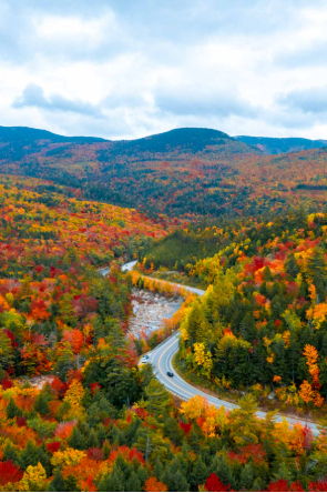
Kancamagus Highway

  
A winding mountain road curves through a dense forest of vibrant autumn foliage, with red, orange, yellow, and green treetops stretching across rolling hills under a partly cloudy sky.

The Kancamagus Highway — A Fall Ride I’ll Never Forget  
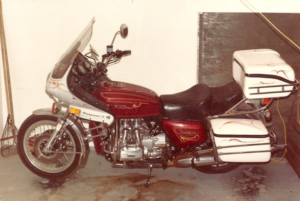
A vintage maroon-and-white Honda Gold Wing motorcycle with a large Windjammer III fairing and hard saddlebags sits parked indoors on a concrete floor, showing detailed pinstriping and chrome engine components.

There are some roads you don’t just drive — you remember. For me, one of those is the Kancamagus Highway, winding through the White Mountains in full October color. Years ago, I rode it on a motorcycle, the air sharp enough to sting my cheeks and the leaves swirling behind me like confetti. It wasn’t just a scenic drive. It was freedom, pure and simple.

Riding the Kanc in Full Fall Color
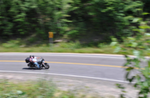
  
A motorcycle with two riders leans into a curve on a forested road, motion blur showing their speed as they pass dense green foliage and a yellow road sign.The Kancamagus is made for motorcycles, especially in the fall. No straining to see the colors from inside a car — it’s all wide open. But dress warmly. Leathers are almost a necessity. October is cold anyway, but the mountains add their own bite, and the Kanc sits deep in northern New Hampshire. It’s 35 miles of highway through the White Mountain National Forest, running from Lincoln to Conway.

At its highest point, you reach an elevation of 2,855 feet. It may not tower like the Rockies, but it’s a good, steady rise. There’s a sign marking the summit, and it’s worth stopping for a picture — one of those “just so you can say you were there” moments.

You can drive straight through. It’ll take you two to three hours depending on traffic, and October is prime leaf‑peeping  
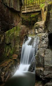
A narrow waterfall flows between tall moss‑covered rock walls in a shaded gorge, with a wooden footbridge above and green forest vegetation surrounding the scene. season. But it’s even better if you stop along the way. One of my favorite waterfalls is Sabbaday Falls. The trail is clearly marked, there’s parking, and a short hike takes you to a multi‑tiered waterfall. Easy enough for a family walk.

I’ve gone moose‑watching in the area and never seen any along the Kanc, but I’m told to beware — moose, deer, and black bear all use the highway, especially around dawn and dusk. It’s bad enough in a car, but you definitely don’t want to meet one of those animals on a motorcycle.

There’s more to see than just the fall colors: Rocky Gorge, Lower Falls, and all the little pull‑offs where the mountains open up in front of you. All in all, the Kanc is one of my favorite drives — a stretch of road that stays with you long after the ride is over.
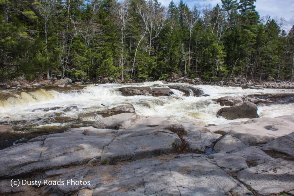
Fast‑moving river water cascades over rocks, creating white rapids surrounded by smooth stone formations and a dense forest of evergreen and deciduous trees.


Sabbaday Falls on the Kancamagus

Sabbaday Falls, White Mountains , NH

Sabbaday Falls is a pretty little waterfall nestled in the White Mountains of New Hampshire. The trail head is located off the scenic Kancamagus Highway. A gravel pathway and wooden steps leads you to the edges of the falls. The .5 mile walk to the falls is a slight incline but not too bad. There are benches along the way to stop and catch your breath and take in the surrounding beauty of the New Hampshire wilderness.

Sabbaday Brook

The stream that feeds the falls in called Sabbaday Brook. It bubbles , burbles and roars its way along beside the trail keeping you company as you climb to the falls. The handicapped accessible trail takes you to the top where the “Best viewing” area is located. I’ve been here twice ans still don’t know where you start the handicap accessible trail. Since it ends at the top of the falls I thought I’d walk it back this time but it was closed due to ice. Looks like I’ll need a return trip to work that out.

http://dustyroadsphotos.zenfolio.com/p247808837/h8927b521#h8927b521

Speaking Of Ice

Spring arrives later in the mountains. It was close to 80 in Lincoln but had dropped to the 60’s by the time I reached the parking area for Sabbaday Falls.

http://dustyroadsphotos.zenfolio.com/p247808837/h8927b521#h89280489

There was still snow  under the trees and much of the trail was covered with ice. Step carefully! I was carrying camera and tripod and one trekking pole. Believe me when I say I would not have made it over the ice without the pole.

Finally, the Falls

After a last push up the one steep section of trail I was over the top and starting downward to the base of the falls. The brook was definitely running high making the treacherous scramble to the ledge to see the falls even more slippery. I looked at the passage with some trepidation, wishing I was either younger or didn’t have a bad hip. But it was a moot point anyway. That photographer that was in such a hurry had beat me to the ledge.

http://dustyroadsphotos.zenfolio.com/p247808837/h8927b521#h8927b156

He was set up. It didn’t look like his would be a quick shoot. I poked around downstream trying to get an angle that showed  the falls but no, luck and the first guy wasn’t budging.

http://dustyroadsphotos.zenfolio.com/p247808837/h8927b521#h8927b155

Summertime Photos of Sabbaday Falls

Since I couldn’t get an pictures of the actual falls this time, I dug back in my archives and found a few from my visit in 2011. There will be other trips, maybe even this year.

If You Go

Keep in mind that snow melts later in the woods and spring will be a week or so behind the valley at this elevation. If you wait to go the stairs to the viewing platform will likely be open.


A New Hampshire Adventure, What’s Joe Got to Do With it?

What’s Joe Got to Do With It?

My good friend Joe is 13 years younger than I am. He refuses to believe that I’m not as spry as I once was and cuts me no slack. I can’t wait until he’s my age and see how much his joints hurt! That being said, Joe is headed back to Sunny Florida. He was up in the Northeast for 2.5 months  on a job search. During that time he got a reminder of what the weather is like 8 months out of the year…cold, gray, snowy, rainy. But before he left he sent me another challenge. http://www.onlyinyourstate.com/new-hampshire/waterfall-roadtrip-nh/

The Ultimate New Hampshire Waterfall Roadtrip

Everyone knows that you need water to have waterfalls and what better time of the year in the Northeast than after the spring rains and snow melt? Saturday was a beautiful day with temps predicted to hit the 80’s. I looked at Joe’s Ultimate New Hampshire Waterfall challenge and decided I’d tackle at least part of it. Since its a 5 plus hour drive to even get to the White Mountains I knew I wouldn’t be able to get in more than 2 or 3 stops. I didn’t follow the stops as outlined in the article as I’ve been to some. I wanted the easiest stops since time was limited.

Lincoln, NH

I arrived in Lincoln, NH at just about noon. Although I wasn’t really hungry I knew my first stop would be Sabbaday Falls and I didn’t want to chance having my blood sugar drop after hiking up to the falls and back. (As a diabetic you have to be aware if these things)  For a cheap, quick stop I grabbed a cheeseburger at MacDonald’s. I know yuck.

Time to head up the Kancmagus Highway.

Finding Sabbaday Falls

Even though it has been 6 years since my New Hampshire vacation, the Kancamagus still felt  like an old friend. I recognized so many places along the way to the  Falls. As I drove the Kancamagus rose, eventually reaching an elevation of just under 3,000 feet at its highest point at Kancamagus Pass on the flank of Mt. Kancamagus near Lincoln, NH.

Sabbaday Falls is on the downside after you pass this high point. Coming from Lincoln you’ll see a sign for the Falls and Picnic Area on the right.

http://dustyroadsphotos.zenfolio.com/p247808837

It’s a Nice Walk

The parking area was packed with cars and as I prepared to hike up to the falls I met lots of dogs  and their people, families and serious hikers. One photographer with his tripod over his shoulder charged past me in a big hurry. I’d soon see why.