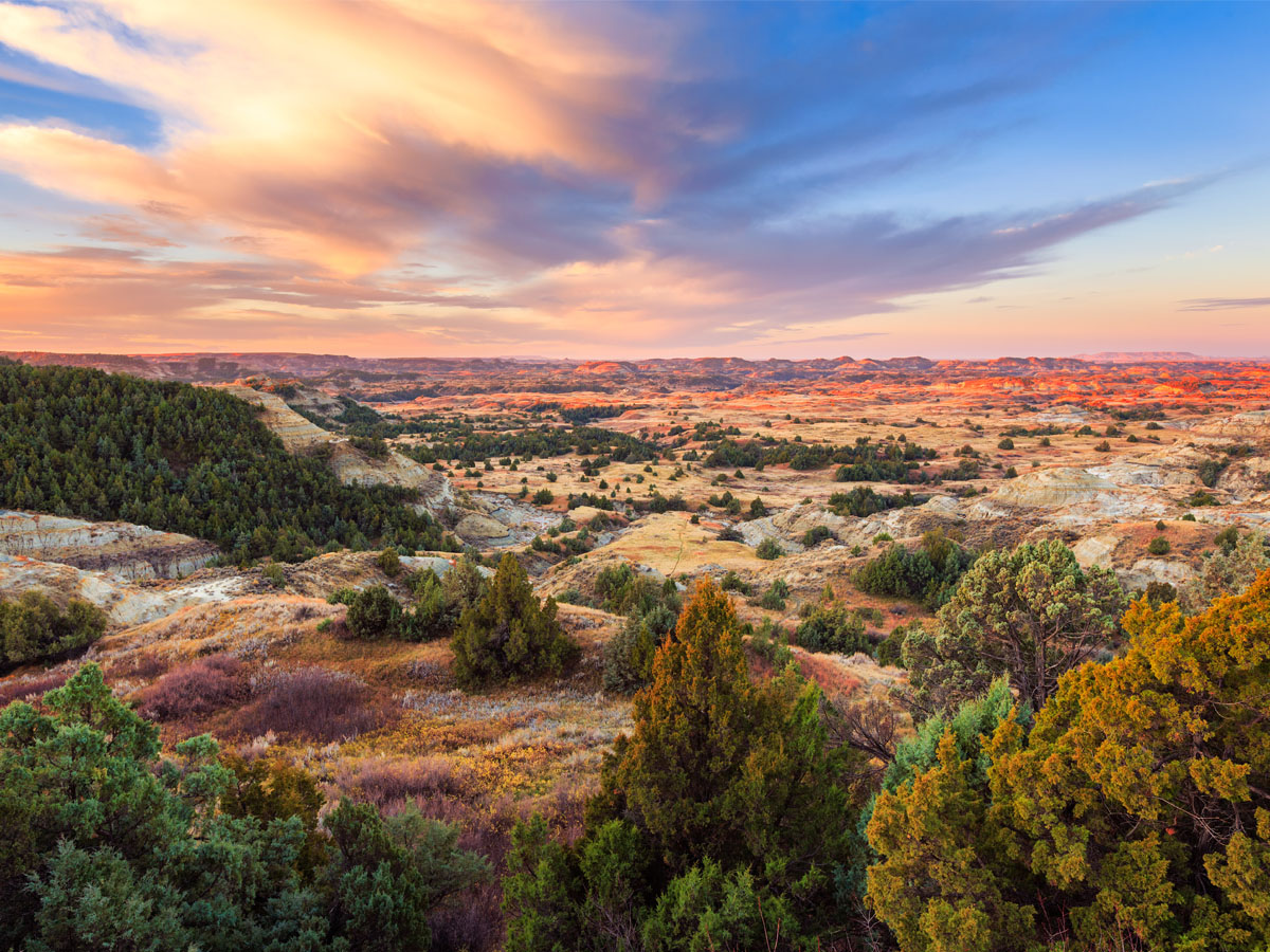
Deadman’s Bar and Dude Ranches

The Story of Deadman’s Bar

We’re coming up on a little dirt road that will take you to Deadman’s bar. It wasn’t in very good shape and I was concerned that my low-slung Toyota  would bottom out. Even though I took a pass the story of how this corner of the Snake River got it’s name is worth retelling. It’s a story of double cross and revenge.  In the spring of 1886 four strangers came into Jackson Hole to take up placer mining along Snake River, whose gravels were reputed to be rich in gold. Three of the men were friends. The trio had added a new 4th man to the group. The 3 men quarreled with the new man and delivered a severe beating. Later, as the 3 men slept, the 4th returned and shot them. He then weighted their bodies down with stones  and threw them in the Snake River. In the end the 4th man was arrested but in true old west fashion he was acquitted in spite of overwhelming evidence of his guilt. I guess its true that dead men tell no tales

Triangle X Ranch

Next up we pass the entrance to the Triangle X Ranch. The Triangle X is an authentic Dude Ranch that has been in continuous operation since 1926. Back when it started the “Dudes” wanted to rough it. Although the ranchers made it easier than it would be for real cowboys the guests still had the use blocks of ice cut from the river for refrigeration and logs for a fire for heat. The Guest Ranch is still in operation today. Its said that when asked why a cowboy would take on these city slickers that he replied “They winter better than cows”.

Elk Ranch Flats Turnout

Once this land was  owned by the largest cattle outfit in Jackson Hole. From 1920 until 1928 Josiah David Ferrin was the “Cattle King of Wyoming”. Eventually economic pressures made selling to John D Rockefeller Jr a prudent idea. Elk Flats Ranch now serves as home to herds of bison and elk that move south from Yellowstone to winter in the milder climate of Jackson Hole. Today there were a few Pronghorn grazing.

Pronghorn Family

Glaciers, Turnouts and Overlooks

Glacier View Turnout

Leaving Antelope Flats and Mormon row behind I was soon approaching Glacier View Turnout. These scenic stops are wonderful. They have information boards that explain what you’re looking at. My Gaperguide usually adds it’s 2 cents as well.

Glaciers om the Tetons


This turnout was all about the glaciers that flowed down the peaks of The Teton Range. There are up to 11 active glaciers but only a few are visible from the road.  A few glaciers that are easily visible include Teton Glacier, Falling Ice Glacier, and Skillet Glacier. View the Teton Glacier from the Teton Glacier turnout on the Teton Park Road.

Schwabacher Landing

Schwabacher Landing

Unattributed photo of the views at Schwabacher Landing. I wish it were mine!

Leaving that turnout behind we come to Schwabacher Landing, a great place to get down by the Snake River. There’s a a boat launch there and it’s a key spot for anglers to access the river. I skipped it but in retrospect I wish I hadn’t. It’s described as one of  America’s most spectacular viewpoints. I missed my photo op. I guess I’ll have to go back!

Teton Point Turnout

At Teton Point Turnout you see the terraces of the Snake River. The flat plain there meets the base of the Teton Range. I looked for animals, elk, bison and pronghorn but the view was empty when I was there.

Sake River

Snake River Overlook

Sake River

This overlook was quite large. As you walk along the curving path lined with a stone wall  different views open up for a feast for the eyes. A tour bus pulled in spilling loads of tourists out for a brief stop and leg stretch. Camera’s clicked and selfies were snapped. It seemed like the bus had a full load. I walked the whole perimeter taking pictures as I went. There was still snow on the trees but it didn’t feel that cold. The sun was out and the sky was blue. It was beautiful and one of my favorite stops.

Snake River Overlook

Mormon Row and Antelope Flats

PronghronMormon Row and Antelope Flats Turnoff

Back on Route 89 I passed Airport Junction and Moose Junction before coming to the Antelope Flats turn off to Mormon Row.  Just before I reached the turn there was another pulloff with views of the Tetons. As I pulled in I noticed a herd of Pronghorns getting ready to bed down for the day.

Mormon RowMormon Row

Mormon Row, so named for the members of the Church of Latter day Saints, who  homesteaded the area in the 1890’s is a photographer’s destination. Photographers from around the world stop by T. A. Moulton’s barn to capture this iconic historic structure with the Teton Range in the background. According to Flickr this is the most photographed barn in America. Of course I had to join the crowd and add my photos to the many others taken here.


Moulton Barn with Tetons in the background

Antelope Flats

Mormon Row in located in Antelope Flats. My Gaperguide was stressing this often overlooked area. Antelope Flats Road is a spectacular route that takes you through sagebrush flats and over rolling plains. This tract of land lies in the path of a primary migration route for pronghorn, bison, and the largest elk herd in the world. As you view the old homesteads you can feel like you’ve been transported back in time. You gain a glimpse of the Old West.

Old Homestead in the shadow of the teton Range

Wildlife of Antelope Flats

The list of wildlife to be seen here is long and varied, wolves,  badger, coyotes, and fox as well as the bigger animals. It was quiet as I drove slowly along searching. I spotted more pronghorn in the distance and at one stop two chipmunks played in the dry grasses by the side of the road. It’s amazing how completely they blend in with their surroundings. They seem a darker color than the cinnamon colored rodents of New England. I only spotted them because they moved!

Wyoming Chipmunk

Wyoming Chipmunks

New England Chipmunk

New England Chipmunk

Prong Horn Antelope

Gros Ventre slideProng Horns gather at Antelope Flats

Turning  at Gros Ventre Junction will take you to Antelope Flats and the little town of Kelly.  And I do mean little. At the last census there were only 138 people residing there. The little town has a tragic history. On May 18, 1927 the town was destroyed when a natural dam formed by the Gros Ventre landslide two years earlier collapsed and completely flooded the town. The little town never recovered. Today you can see the scar the slide left in the landscape and visit the Lower Slide Lake. There’s also a campground and convenience store.

Between Gros Ventre Junction and Kelly

Mounrt Saint John

I spotted my first wildlife as I traveled down this little side road. I stopped at a turnout overlooking one of the many rivers in the area. Moose habitat but no moose. Moving along I spotted the shortcut to Mormon Row a historic district located in Antelope Flats. I loved the clouds wreathing around Mount St John so I stopped for a series of photos. The road was a mess of pot holes. Back in the car I reached a closed and locked gate. Looks like the short cut is closed for the season. I decided to retrace my steps to the highway. It was on my return trip that I spotted the pronghorn.Prong Horn

It’s just one but its a start

I imagined a beautiful photo of a prong horn antelope with the magnificent mountains in the background but no luck. If I focused on the  antelope the mountains didn’t show and if I zoomed out to get the whole vista the antelope faded away to a tiny spot. I sat watching the lone Prong Horn as it meandered it’s way along the berm. The Prong Horn, like the elk, migrate through Grand Teton National Park as the cold weather rolls in. With luck this would just be the first of many sightings.


Flat Creek and the Elk Refuge

Flat Creek in the Elk SanctuaryFlat Creek, Jackson

Flat Creek in Jackson runs just behind the visitor center. and follows route 89 as you are leaving Jackson for the National Park. This section of Flat Creek is part of the National Elk Sanctuary. Folks come to Flat Creek for the fly fishing. I came for the birds. The river is on a migration path and always filled with birds. Ducks, coots and even swans filled the waterway. 

Fish HatcheryTeton Range

About now my Gaperguide chimed in. A fish hatchery was coming up on the right.  I chose not to stop but I gather the hatchery is trying to rescue the cutthroat trout in the area from introduced lake trout. Cutthroat trout support many of the birds and animals in this eco-system. Bear feed on them, eagles and otters join in.  Animals can’t catch the lake trout so it’s crucial to the habitat to maintain the stocks of the cut throat trout. Amazing how man’s meddling can have such far reaching consequences.

Entering Grand Teton National Park

Grand Teton National Park

As I pass the Fish Hatchery the road climbs a small hill. You’ll get your first real view of the Teton Range as you reach the top. I never tired of the way you come over that hill and the mountains are right in front of you! Beautiful and breath-taking; minimal foot hills. It’s like someone just dropped the mountains in the middle of a flat plain. My Gaperguide was on the job reminding me to slow down. It even suggested a photo op. The park entrance was coming up. The Park Sign has a terrific view of the namesake mountains. 

Gros Ventre Junction

The Elk Refuge follows along on my right. The next turnoff is Gros Ventre Junction.  The area is named for the Gros Ventre (pronounced grow vaunt) Native American tribe that migrated down from Montana to hunt bison. Taking a right here will lead to the little Town of Kelly, population 138.